About Der Yang Wreck
The Der Yang wreck, a Taiwanese long-line fishing vessel, rests on its starboard side at a depth of 30 meters near the Echuca Patch reef, on the Pacific Ocean side of Kavieng. This site is noteworthy as the vessel was scuttled by the Fisheries Ministry in the late 1970s due to suspected illegal activities, making it a unique piece of maritime history in the region. The wreck itself is largely intact, with its hull providing structure for marine life. Divers typically descend along a mooring line directly to the wreck, exploring its length. While the wreck has only been submerged for a relatively short time, hard and soft corals have begun to colonize its surfaces, adding color and texture to the metal. The surrounding reef areas also feature sea fans. Marine life encounters at the Der Yang include larger species such as Queensland groupers, often accompanied by pilotfish. Scorpionfish can be spotted on the wreck structure. The sandy bottom near the wreck is home to smaller creatures like orange-spotted and eyebrow shrimp gobies, diligently tending their burrows with their partner shrimp. Given its location in the Coral Triangle, a global hotspot for marine biodiversity, divers can expect a vibrant ecosystem. Diving the Der Yang is accessible from Kavieng, with the site located only minutes from the docks. The dive is straightforward, allowing divers to focus on exploration and marine life observation. Visibility is generally good, and while currents can be a feature of Kavieng's diving, the wreck provides a relatively sheltered environment for detailed exploration.
Highlights
Taiwanese long-line fishing vesselWreck on its starboard sideQueensland grouper sightingsShrimp gobies and partner shrimpModest coral growthAccessible from Kavieng
Season calendar
Best months to dive here
Jan
Feb
Mar
Apr
May
Jun
Jul
Aug
Sep
Oct
Nov
Dec
Good
Dive site facts: Der Yang Wreck
- Depth
- 30 m
- Current
- Strong
- Visibility
- Very clear
- Water temperature
- 28–29°C (82–84°F)
- Entry
- Boat
- Level
- Advanced
- Dive type
- Wreck, coral, pelagic
- Region / port
- New Ireland, Kavieng
- Coordinates
- -2.54, 150.81
Conditions & Currents
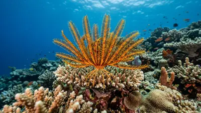
The Der Yang Wreck is situated in a highly dynamic area, exposed to strong, nutrient-rich currents originating from the Pacific Ocean. Its location within a key passage between New Ireland and New Hanover means significant water movement is common, which can vary greatly throughout the day due to multiple tidal cycles. Divers should anticipate drift conditions and be prepared for potential strong flows, especially around the bow area where sea whips and crinoids thrive. This site is suitable for advanced divers or those with current diving experience who can manage entry and exit in such conditions. Good buoyancy control is essential to navigate the wreck safely without impacting fragile coral growth, and careful gas planning is advised given the depth and potential for strenuous swimming against currents.
Marine life & sighting chances
Crinoids
common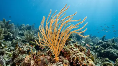
Sea whips
common
Hard corals
common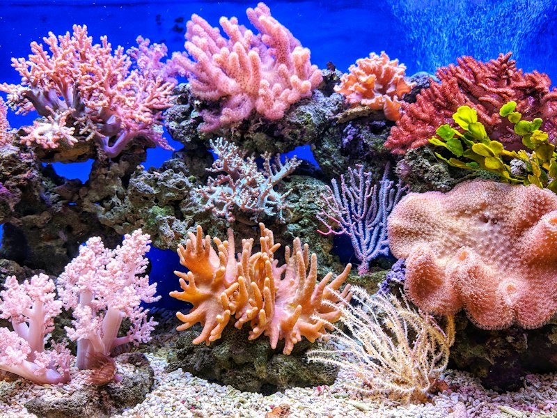
Soft corals
commonPelagic fish
occasional
Reef sharks
occasional
Barracuda
occasionalDive profile & how the dive runs
Diving the Der Yang Wreck typically begins with a boat descent directly onto the wreck, which lies on its starboard side at a maximum depth of 30 meters. Divers often start at the bow area, where striking sea whips and crinoids provide excellent photo opportunities, particularly around 34 meters. The dive then proceeds along the remarkably intact hull, allowing exploration of the ship's structure and its thriving marine growth. Due to strong currents, a drift dive approach is often employed, letting the current carry divers along the wreck. Turnaround is dictated by air consumption and bottom time, with a slow ascent back along the wreck's shallower sections. The safety stop is usually conducted in the clear blue water above the wreck, maintaining sight of the vessel as a reference.
Underwater photography
The Der Yang Wreck offers exceptional photography opportunities due to its intact structure and the way it rests on its side, providing interesting angles and perspectives. Wide-angle lenses are ideal for capturing the entire wreck, especially when paired with a diver for scale, making for dramatic shots that have graced magazine covers. While the water is often very clear, the wreck's depth at 30 meters means light can be limited, necessitating a higher ISO or powerful strobes to illuminate foreground subjects like vibrant sea whips and crinoids. Exposing for the ambient blue water and using strobes for the wreck's details will yield the best results. Good buoyancy control is crucial for maintaining position in currents and avoiding contact with the fragile coral growth on the wreck.
Combine with nearby dive sites
- Echuca Path
Features a large coral slope teeming with marine life, complementing the wreck dive.
- Albatross Passage
Known for strong currents and large pelagic species, offering a thrilling drift dive.
- Rabaul Submarine Wrecks
Offers additional historical wreck diving opportunities in the broader region.
- Planet Rock
A favorite for advanced divers with deep walls and strong currents, home to barracuda and reef sharks.
Getting there & logistics
Access to the Der Yang Wreck primarily originates from Kavieng, the main town and capital of New Ireland Province in Papua New Guinea. Divers typically fly into Kavieng Airport (KVG), which connects via domestic flights from Port Moresby (POM). Liveaboards and local dive resorts in Kavieng provide boat transfers to the dive site, which is conveniently located offshore. Dive trips to the Der Yang are often part of broader itineraries exploring the diverse Kavieng region, which includes other wrecks, channels, and reefs. While no specific permits or fees are mentioned for this individual site, general dive tourism often includes park or conservation fees within package pricing.
Safety & environment
Diving the Der Yang Wreck, given its depth and potential for strong currents, requires divers to be well-prepared and follow dive guide instructions closely. Divers should ensure they have appropriate experience and training for advanced wreck diving conditions. While specific details about the nearest recompression chamber are not readily available for Kavieng, it is generally prudent for divers in remote areas of Papua New Guinea to carry comprehensive dive insurance that covers emergency medical evacuation. Standard safety protocols, such as careful ascent rates, safety stops, and buddy system adherence, are paramount. The site's exposure to currents necessitates vigilance regarding drift and maintaining contact with the dive group.
Who it suits — and who it doesn't
Suited for
- Advanced divers comfortable with currents
- Wreck enthusiasts
- Underwater photographers seeking unique subjects
- Divers interested in historical sites
Less suited for
- Beginner divers
- Those uncomfortable with strong currents
- Divers seeking only shallow, calm reef dives
- Divers without good buoyancy control
FAQ
Der Yang Wreck FAQ
What is the history of the Der Yang Wreck?
The Der Yang was a Taiwanese long-line fishing boat seized by the Fisheries Ministry in the late 1970s for illegal activities. It was subsequently used by the Ministry in sting operations before being intentionally scuttled in 1988 near Kavieng. The sinking was intended to send a strong message to other illegal fishing vessels in the area.
How deep is the Der Yang Wreck?
The Der Yang Wreck rests at a depth of approximately 30 meters (98 feet). Some parts of the wreck, particularly around the bow, can extend slightly deeper to about 34 meters (112 feet). This depth classifies it as an advanced dive site, requiring appropriate training and experience.
What kind of marine life can be seen on the Der Yang Wreck?
Over the years, the Der Yang has transformed into a vibrant artificial reef, attracting a variety of marine life. Divers can expect to see abundant crinoids and sea whips adorning the wreck, along with extensive growth of both hard and soft corals. The currents also bring occasional pelagic fish, reef sharks, and barracuda to the site.
Are there strong currents at the Der Yang Wreck?
Yes, the Der Yang Wreck is known for its strong currents, as it is located in a principal passage swept by rich Pacific Ocean flows. These currents can vary in intensity and direction, necessitating careful dive planning and experience in drift diving. The nutrient-rich waters brought by these currents contribute to the site's vibrant marine ecosystem.
Is the Der Yang Wreck suitable for underwater photography?
Absolutely. The Der Yang Wreck is highly regarded as a photogenic subject, having been featured in various dive publications. Its intact structure, resting on its side, provides unique angles for wide-angle shots, especially with a diver for scale. Photographers should be prepared for deeper conditions, potentially requiring strobes or higher ISO settings to capture its intricate details and colorful marine growth effectively.
Why dive Der Yang Wreck from a liveaboard?
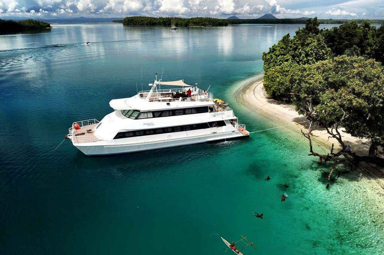
Der Yang Wreck is one of Papua New Guinea's signature dive sites. A liveaboard sleeps you on the water and puts you in the water for three to four guided dives per day, including dawn and night dives that day-boat operators rarely offer. You skip the daily commute back to port and reach quieter, less-crowded sites in the same region on a single trip.
Below are the liveaboards that include Der Yang Wreck on their Papua New Guinea itineraries.
Liveaboards diving Der Yang Wreck
These liveaboards may visit Der Yang Wreck on selected itineraries — the exact dive sites depend on departure, weather and conditions.
Dive sites similar to Der Yang Wreck
Same character, same waters — six more sites divers love for the exact same reasons.Compare seasons, access and liveaboard routes — then pick the site that fits your trip best.
© Esri — Maxar, Earthstar, GIS
George's Wreck
Papua New Guinea
George's Wreck is a renowned dive site near Rabaul in Papua New Guinea, famous for its historical significance as a Japanese minelayer that reportedly ran aground after an Allied attack.
- Suitable for
- Advanced
- Current
- Moderate
- Access
- Liveaboard only
- Depth
- 12–60 m
- Theme
- Wreck / Reef
© Esri — Maxar, Earthstar, GIS
Tufi Fjords
Papua New Guinea
Tufi Fjords, nestled on Cape Nelson along Papua New Guinea's northeast coast, offers a unique diving experience in a stunning, tropical fjord-like landscape.
- Suitable for
- Intermediate
- Current
- Strong
- Access
- Liveaboard only
- Depth
- 5–200 m
- Theme
- Muck diving / Reef
© Esri — Maxar, Earthstar, GIS
Henry Leith
Papua New Guinea
The Henry Leith is a compelling wreck dive situated off Madang, Papua New Guinea, specifically on the western side of Wongat Island within the sheltered Madang Lagoon.
- Suitable for
- Intermediate
- Current
- Mild
- Access
- Dayboat
- Depth
- 10–20 m
- Theme
- Wreck / Reef
© Esri — Maxar, Earthstar, GIS
Echuca Patch
Papua New Guinea
Echuca Patch is a prominent patch reef located just outside Kavieng, Papua New Guinea, specifically positioned on the Pacific Ocean side of Kavieng's northern tip, near the mouth of the harbor.
- Suitable for
- Advanced
- Current
- Moderate
- Access
- Liveaboard only
- Depth
- 15–35 m
- Theme
- Reef / Wreck
© Esri — Maxar, Earthstar, GIS
Rapopo Wreck
Papua New Guinea
Rapopo Wreck is a compelling dive site located near Rabaul in Papua New Guinea's East New Britain province.
- Suitable for
- Intermediate
- Current
- Moderate
- Access
- Liveaboard only
- Depth
- 12–23 m
- Theme
- Wreck / Reef
© Esri — Maxar, Earthstar, GIS
Stubborn Hellion
Papua New Guinea
The Stubborn Hellion is a well-documented American B25 Bomber wreck from WWII, located in Papua New Guinea's New Ireland Province.
- Suitable for
- Intermediate
- Current
- Moderate
- Access
- Liveaboard or dayboat
- Depth
- ≤ 12 m
- Theme
- Wreck