
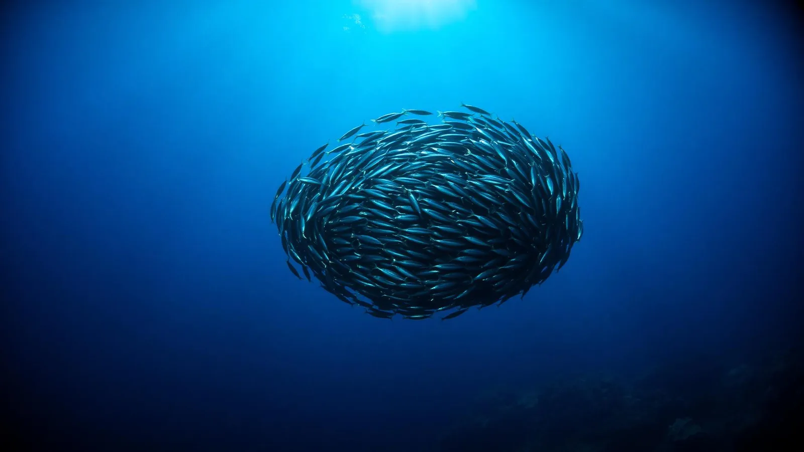
- eDNA metabarcoding can detect hundreds of species from a single seawater sample through analysis of shed cells, mucus, scales, and faeces, providing a non-invasive complement to visual census methods.
- Reef Life Survey (RLS) has trained over 1,000 volunteer scientific divers who apply standardised survey methods at more than 4,000 sites across 44 countries, generating one of the largest global reef fish datasets in existence.
- eOceans converts routine dive logs into structured scientific data, enabling large-scale trend analysis for elasmobranchs and other species rarely captured by institutional surveys.
- iNaturalist records from recreational divers have been shown to complement structured transect surveys, significantly increasing detection of rare and cryptic reef fish species at regional scales.
- eDNA metabarcoding can distinguish community composition inside versus outside MPAs, offering a cost-effective, scalable tool for compliance monitoring and ecological baselines.
- Key challenges include eDNA signal degradation in warm tropical water, taxonomic gaps in reference barcode databases, and ensuring citizen-science data quality through standardised training and verification protocols.
In 2016, a team of marine biologists announced that a single bucket of seawater contained enough shed genetic material to reconstruct a census of the fish, invertebrates, and microbes living in a reef system—without a single net cast or diver in the water [1]. That capability—environmental DNA (eDNA) metabarcoding—has since matured from a laboratory curiosity into a frontline conservation tool, capable of detecting species that visual surveys miss and distinguishing inside-MPA communities from outside-MPA communities with statistical rigour [2]. At the same time, structured citizen-science platforms led by trained volunteer divers—Reef Life Survey, eOceans, and the broader iNaturalist network—have generated datasets of a scale no funded research programme could replicate alone. Together, eDNA and citizen science are dissolving the boundary between professional monitoring and public participation, raising both exciting possibilities and important questions about data quality, privacy, and governance.
What Is eDNA Metabarcoding and Why Does It Matter for Reefs?
Every organism living in the ocean leaves a biochemical trail. Fish shed epithelial cells and mucus; invertebrates release gametes and faecal matter; even microscopic algae slough genetic material into the water column. Environmental DNA (eDNA) is the collective term for this shed genetic material suspended in a water sample. Collected through simple filtration, extracted, amplified with universal primers, and sequenced on a next-generation platform, that eDNA can be matched against reference barcode databases to produce a species inventory of everything living in the sampled environment—a process called metabarcoding [1].
For reef ecosystems, the implications are profound. Traditional monitoring relies on underwater visual census (UVC)—trained divers swimming standardised transects, recording species and estimating abundance. UVC is powerful but limited: it favours conspicuous, diurnally active species; it requires extensive diver training; it cannot easily capture cryptic or nocturnal taxa; and cost and logistics constrain it to a tiny fraction of global reef area. eDNA metabarcoding sidesteps many of these bottlenecks. A 2022 study in the Proceedings of the Royal Society B used metabarcoding to characterise coral-reef fish communities across the Atlantic, Indian, and Pacific Oceans from water samples alone, recovering 2,417 fish taxa and revealing cross-ocean biogeographic patterns that matched but substantially extended the species lists obtained by visual survey at the same sites [1]. The authors noted that eDNA detected rare and cryptic species—including several of conservation concern—that transect surveys consistently missed.
eDNA in Marine Protected Areas: From Theory to Compliance Tool
The most practically urgent application of eDNA in marine conservation is MPA monitoring. Marine protected areas cover approximately 8% of the global ocean as of 2024, but the coverage is deeply uneven and the quality of monitoring even more so. Most MPAs in developing nations have no systematic ecological baseline, no ongoing survey programme, and no mechanism for detecting ecological change over time. eDNA offers a partial solution.
A landmark 2021 PLoS ONE study by Gold and colleagues tested eDNA metabarcoding as a biomonitoring tool in Channel Islands National Marine Sanctuary, California [2]. Using water samples collected by snorkellers and SCUBA divers at stations inside and outside MPA boundaries, the team demonstrated that fish community composition—as revealed by eDNA—was significantly different inside fully protected zones versus adjacent fished areas, with higher richness of fish species inside the MPA. Critically, these differences aligned with predictions from long-term visual census data, validating eDNA as a robust monitoring signal. A 2022 study in Ecological Indicators went further, attempting to derive quantitative ecological indicators directly from eDNA read proportions, finding that MPA protection level was a significant predictor of the derived index [3].
The Mediterranean offers an especially well-studied example. A 2023 Marine Policy analysis by Capurso and colleagues assessed whether eDNA metabarcoding could improve the cost-effectiveness of monitoring in the 100+ MPAs of the Mediterranean Sea Network [4]. The study found that a single eDNA sampling event at five to ten stations per MPA could provide community-level information equivalent to three to four annual visual census surveys, at roughly one-third of the labour cost. The authors recommended a hybrid approach: eDNA for initial baseline characterisation and rapid-response monitoring, UVC for detailed abundance estimates and behavioural data that DNA signal alone cannot provide [4].
Reef Life Survey: Citizen Science at Scientific Scale
While eDNA represents a technological frontier, the Reef Life Survey (RLS) programme demonstrates what carefully trained human observers can achieve over decades. Founded by ichthyologist Graham Edgar at the University of Tasmania, RLS trains volunteer recreational divers to conduct rigorous 50-m belt-transect surveys—recording all fish and mobile invertebrates in standardised size classes, using identical methods at every site worldwide [5]. The training is substantial: volunteers complete written exams and in-water assessments before contributing data; surveys are conducted by pairs of trained divers; and data are validated by coordinators before entry into the database.
The scale achieved through this model is staggering. As of 2020, RLS had compiled data from more than 4,000 sites in 44 countries, representing the most geographically comprehensive standardised reef fish dataset in existence [6]. That dataset has underpinned dozens of peer-reviewed publications examining latitudinal diversity gradients, the efficacy of MPAs, climate-driven range shifts, and the global predictors of reef fish abundance. The 2014 Scientific Data descriptor paper by Edgar and Stuart-Smith established the database's global scope and methodological rigour, demonstrating that volunteer-collected data matched the precision and accuracy of professional scientific surveys when volunteers were adequately trained [5]. A 2020 Biological Conservation synthesis showed that RLS data have directly informed MPA boundary decisions and fisheries assessments in Australia, the United States, Portugal, and New Zealand [6].
What makes RLS particularly valuable for science is not just volume but standardisation. When each observation is collected using the same protocol—same transect width, same species identification standards, same size-class bins—data from a reef in Japan and a reef in South Africa can be directly compared. This is the fundamental challenge citizen science must solve to be scientifically credible, and RLS's solution—rigorous upfront training, expert validation, and protocol discipline—has become the template for other programmes.
eOceans: Mining the Dive Log for Conservation Intelligence
Every diver keeps a log. Most of those logs contain rich ecological information—species sightings, water visibility, temperature, behavioural observations—that never reaches a scientist. eOceans, created by marine ecologist Christine Ward-Paige, is a platform designed to convert routine dive records into structured scientific data through a mobile-first app that prompts divers to record standardised fields during or immediately after a dive [7]. The resulting database spans millions of person-dives across multiple oceans, with particular strength in elasmobranch (shark and ray) sightings—taxa that are notoriously difficult to survey with traditional methods because of their low density, large home ranges, and variable depth distribution.
A preprint case study by Ward-Paige and colleagues (2018) demonstrated the approach using eOceans data from Thailand, showing that dive-log records from recreational divers could detect temporal and spatial trends in shark encounter rates that were consistent with known fisheries pressure and seasonal oceanographic patterns [7]. The practical implication is significant: in regions where funded research programmes are absent—which is most of the ocean—diver-collected occurrence data may be the only available signal for detecting population change in large, mobile marine megafauna. Subsequent eOceans analyses have examined manta ray trends in Fiji, reef shark occupancy in the Red Sea, and the impacts of COVID-19 dive cessation on perceived fish abundance—all questions unanswerable from traditional monitoring alone.
iNaturalist: The Long Tail of Rare Species Detection
iNaturalist operates on a different model: it is an open platform where any user can upload a georeferenced photograph of any organism and receive a machine-learning-assisted species identification, subsequently confirmed or refined by community experts. For marine environments, divers contribute a disproportionate share of records because underwater photography is now nearly universal among recreational divers. A 2022 study in Biodiversity and Conservation quantified how iNaturalist records complemented structured RLS transect data at reef sites in southeastern Australia [8]. The analysis found that iNaturalist contributed 47 fish species not detected in RLS transects at the same sites, disproportionately concentrated among cryptic, rare, and nocturnal taxa—exactly the species visual census is weakest at detecting. When combined, the two data streams produced species richness estimates 18–32% higher than either alone, and the joint dataset was significantly more accurate at predicting the occurrence of range-shifting species associated with warming oceans [8].
This complementarity matters for conservation decision-making. Species richness estimates that undercount rare taxa systematically underestimate the conservation value of reef sites, potentially affecting which areas are prioritised for protection. iNaturalist's strength lies precisely in its breadth: tens of millions of users generating opportunistic observations that collectively sample time periods, locations, and behavioural modes that no structured programme could efficiently target. The challenge is that iNaturalist data are inherently spatially and temporally biased toward accessible, popular sites and daytime activity—the same biases inherent in recreational diving. Using iNaturalist data rigorously requires occupancy modelling that explicitly accounts for detection probability.
Technical Frontiers and the Path to Integrated Monitoring
Several technical challenges limit current eDNA applications in tropical reef systems. eDNA degrades rapidly in warm, UV-exposed, oligotrophic water—half-lives can be as short as a few hours in shallow tropical environments, making the spatial and temporal interpretation of samples non-trivial [1]. Reference barcode databases remain incomplete for many invertebrate phyla; a metabarcoding sample from a diverse Indo-Pacific reef may produce a substantial fraction of reads matching no known species—representing either genuine novelty or database gaps. Quantification from metabarcoding read counts remains contentious: PCR amplification introduces biases that mean read abundance does not linearly track organism abundance, limiting the transition from presence/absence data to biomass estimates.
Despite these challenges, the trajectory is clearly toward integration. The most ambitious monitoring frameworks now being piloted—in places like the Great Barrier Reef Marine Park, the Azores MPA network, and the California MLPA monitoring programme—combine eDNA water sampling by trained citizen-science divers, structured RLS-style visual transects by volunteer scientific divers, opportunistic photographic records uploaded to iNaturalist, and remotely operated vehicle (ROV) surveys for mesophotic depths. Each method covers different taxa, depths, and behavioural windows; together they approach something like a comprehensive ecological census [4].
The policy implications are already being felt. In 2022 the IUCN recommended that MPA management plans explicitly incorporate citizen-science datasets alongside institutional monitoring, recognising that the gap between the area of ocean theoretically protected and the area actually monitored is a fundamental conservation failure—and that volunteer divers and eDNA sampling are the most practical tools available to close it. For recreational divers, this represents an opportunity to transform a leisure activity into direct conservation impact: every standardised survey dived, every species logged, every water sample collected, adds to a planetary ecological record that will underpin marine protection decisions for decades to come.
References
- [1] Polanco Fernández A et al. Cross-ocean patterns and processes in fish biodiversity on coral reefs through the lens of eDNA metabarcoding. Proc R Soc B. 2022;289:20220162. doi:10.1098/rspb.2022.0162
- [2] Gold Z, Sprague J, Kushner DJ, et al. eDNA metabarcoding as a biomonitoring tool for marine protected areas. PLoS ONE. 2021;16(2):e0238557. doi:10.1371/journal.pone.0238557
- [3] Ecological indicators based on quantitative eDNA metabarcoding: the case of marine reserves. Ecol Indic. 2022;144:108966. doi:10.1016/j.ecolind.2022.108966
- [4] Capurso G, Carroll B, Stewart KA. Transforming marine monitoring: Using eDNA metabarcoding to improve the monitoring of the Mediterranean Marine Protected Areas network. Mar Policy. 2023;156:105807. doi:10.1016/j.marpol.2023.105807
- [5] Edgar GJ, Stuart-Smith RD. Systematic global assessment of reef fish communities by the Reef Life Survey program. Sci Data. 2014;1:140007. doi:10.1038/sdata.2014.7
- [6] Edgar GJ, Cooper A, Baker SC, et al. Reef Life Survey: Establishing the ecological basis for conservation of shallow marine life. Biol Conserv. 2020;252:108994.
- [7] Ward-Paige CA, Westell A, Sing B. eOceans dive-logs for science and conservation: a case study of sharks in Thailand. bioRxiv. 2018. doi:10.1101/296160
- [8] Roberts CJ, Vergés A, Callaghan CT, Poore AGB. Many cameras make light work: opportunistic photographs of rare species in iNaturalist complement structured surveys of reef fish. Biodivers Conserv. 2022;31:1407–1425. doi:10.1007/s10531-022-02398-6
- [9] Documenting fishes in an inland sea with citizen scientist diver surveys. Environ Monit Assess. 2022;194:227. doi:10.1007/s10661-022-09857-1
- [10] Optimizing a Novel eDNA-Based Framework for Reef Fish Biodiversity Monitoring Using an Autonomous Filtration System and in situ Nanopore Sequencing. Ecol Evol. 2026. doi:10.1002/ece3.73254