عن Agustín Melgar shipwreck
يُعد حطام سفينة أغوستين ميلغار شعابًا اصطناعيًا آسرًا يقع بالقرب من جزيرة دانزانتي، ويُقدم لك تجربة غوص فريدة داخل المياه المحمية للوريتو. تستقر هذه السفينة، التي يبلغ طولها حوالي 180 قدمًا، تحت السطح وقد أصبحت موطنًا نابضًا بالحياة لمجموعة واسعة من الكائنات البحرية. يوفر هيكل الحطام المأوى والغذاء، ما يجذب العديد من الأسماك واللافقاريات والشعاب المرجانية الملونة التي استوطنت أسطحه. يمكنك استكشاف أجزاء مختلفة من السفينة، ومراقبة كيف تستعيد الطبيعة الأشياء التي صنعها الإنسان وتحولها إلى أنظمة بيئية مزدهرة. يُعد الموقع غنيًا بشكل خاص بالديدان البحرية (Nudibranchs)، مع وجود عدد كبير منها حول الحطام وداخله. يعمل أغوستين ميلغار كموقع ممتاز للتصوير الفوتوغرافي تحت الماء، حيث يمكنك التقاط التفاعل بين الهيكل الاصطناعي والحياة البحرية المزدهرة. يضيف وجوده بُعدًا تاريخيًا وهيكليًا لمواقع الشعاب المرجانية الطبيعية، ما يجعله وجهة مقنعة لعشاق حطام السفن والمهتمين بالبيئة البحرية.
أبرز المعالم
حطام سفينة بطول 180 قدمًاشعاب مرجانية اصطناعية نابضة بالحياةتجمع وفير من الديدان البحريةأهمية تاريخية وبيئيةحياة بحرية متنوعة حول الحطام
تقويم المواسم
أفضل أشهر الغوص
يناير
فبراير
مارس
أبريل
مايو
يونيو
يوليو
أغسطس
سبتمبر
أكتوبر
نوفمبر
ديسمبر
ممتاز
جيد
بيانات موقع الغوص: Agustín Melgar shipwreck
- العمق
- 12–24 m (40–80 ft)
- التيار
- ضعيف
- مدى الرؤية
- 12–18 m (40–60 ft)
- درجة حرارة الماء
- 18–29 °C (64–85 °F)
- طريقة النزول
- قارب
- المستوى
- متقدم
- نوع الغوص
- حطام سفينة, شعاب اصطناعية
- المنطقة / الميناء
- Loreto, Baja California Sur
- الإحداثيات
- 25.8672, -111.3121
الظروف والتيارات
عادة ما تكون التيارات خفيفة، ما يجعل هذا الغوص مريحًا ومناسبًا لمعظم الغواصين المعتمدين. عادةً ما يقيّم المرشدون حركة المياه هنا بأنها تيار خفيف. تتراوح أعماق الغوص هنا بين 12 و 24 متر تقريباً، لذا خطط لغازك وحدود عدم إزالة الضغط بناءً على الجزء الأعمق من الموقع. عادةً ما يتم الإيجاز عنه كغوص للغواصين من مستوى متوسط. يتم الوصول إلى الموقع عن طريق قارب سفاري، لذا تتم عمليات الدخول من الزورق الصغير أو مباشرة من السطح الخلفي. المد والجزر والرياح والموسم كلها تغير الصورة من يوم لآخر، لذا فإن إيجاز الطاقم على القارب يلغي دائماً أي وصف عام.
الحياة البحرية واحتمال المشاهدة
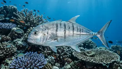
Bigeye trevally
شائع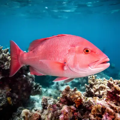
Snapper
شائع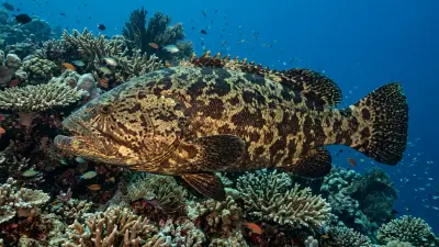
Grouper
شائع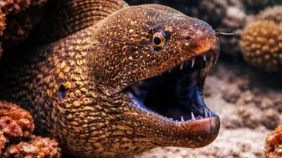
Moray eel
شائع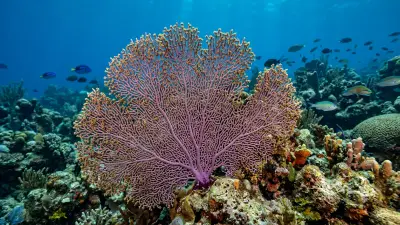
Sea fan
شائع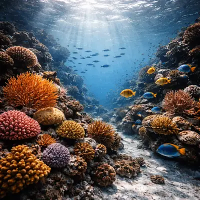
Black coral
أحياناً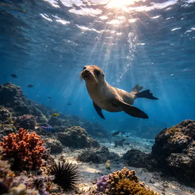
California sea lion
أحياناًAngel shark
Summer and fall · أحياناً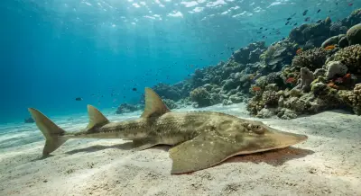
Guitarfish
Summer and fall · أحياناً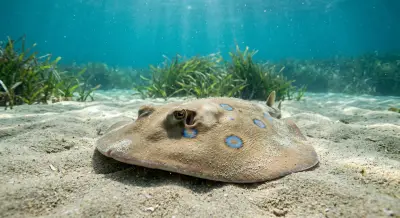
Torpedo ray
Summer and fall · أحياناً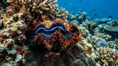
Electric ray
Summer and fall · أحياناً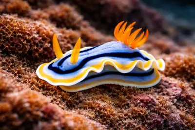
Nudibranch
أحياناًمخطط الغوصة وسيرها
Your dive begins with a boat entry, usually a short ride from Marina Puerto Escondido, placing you directly over the C-54 Agustín Melgar wreck. Descend to the upper deck, which sits at 12 to 18 meters (40 to 60 feet), allowing ample time to explore the main structure. The wreck rests upright on a sandy bottom at 24 meters (80 feet), providing a clear orientation. You'll navigate through large penetration openings and various swim-throughs, which are safe and designed for divers without specialized wreck training. Explore the interior corridors where schooling jacks and snappers often congregate, and keep an eye out for groupers on the deck and moray eels in the railings. The dive typically involves a circular or linear route around and through the vessel, with the turn point determined by air consumption and no-decompression limits. Your safety stop will be performed in the clear, blue waters above the wreck, often observing nearby reef fish.
التصوير تحت الماء
The Agustín Melgar wreck offers compelling subjects for both wide-angle and macro photography. For the overall structure and schooling fish, a wide-angle lens (e.g., 10-24mm or fisheye) is ideal, capturing the scale of the 56-meter vessel and its encrusting corals. External strobes are highly recommended to bring out the vibrant colors of the gorgonians, sponges, and anemones that adorn the wreck, especially in deeper sections where natural light diminishes. For interior shots and marine life within the wreck, a compact camera or a wide-angle setup with video lights can illuminate darker areas. Close-up shots of moray eels, nudibranchs, and smaller reef fish living on the wreck will benefit from a macro lens. Maintain excellent buoyancy control to avoid disturbing silt inside the wreck and to protect the delicate marine growth. Be patient with schooling fish, waiting for them to position themselves favorably for your composition.
مواقع قريبة يمكن دمجها
- La Lobera
A wall and cavern system on Isla Coronado with California sea lions.
- Las Tijeretas
A sheltered site on Isla Coronado with a mini-wall, macro life, and occasional sea lions.
- Piedra Blanca
Known for drift diving and mobula ray encounters in late spring/early summer.
- Los Islotes
Famed for its large, playful California sea lion colony near La Paz.
الوصول والترتيبات
Diving the Agustín Melgar typically originates from Loreto, Baja California Sur, a quaint beach town with its own airport (Loreto International Airport - LTO), which receives flights via Mexico City or Guadalajara. Most dive trips are day boat excursions out of Marina Loreto, reached by local dive operators such as Blue Nation Baja. The site is located off Isla Danzante, south of Puerto Escondido, making for relatively short boat rides. Dive packages usually involve a marine park bracelet, covering access to the Bahía de Loreto National Park. Loreto offers a variety of accommodations within walking distance of the marina. It is common to combine wreck diving with explorations of nearby islands like Isla Coronado and Isla del Carmen, known for their walls, sea lion colonies, and diverse reef systems. Trips can range from single-day excursions to multi-day dive packages.
السلامة والبيئة
Loreto is a well-established diving destination, but divers should always carry comprehensive dive insurance that covers recompression chamber treatment and medical evacuation. The nearest recompression chamber facilities would likely be found in larger cities like La Paz. For the Agustín Melgar wreck, while penetrations are described as easy, divers should be Advanced certified and possess good buoyancy control to avoid stirring up silt, which can significantly reduce visibility and disorient divers, particularly within confined spaces. Always dive with a reputable operator and a guide who is familiar with the wreck. Be mindful of potential thermoclines at deeper depths, which can cause sudden temperature drops. Maintain situational awareness regarding mild currents, ensuring you are comfortable with potential drift, though the site is generally calm. Emergency protocols should be clearly communicated by your dive operator before each dive.
لمن يناسب — ولمن لا
مناسب لـ
- Advanced divers seeking wreck exploration
- Divers interested in maritime history
- Underwater photographers targeting artificial reefs
- Divers comfortable with mild currents and depths up to 24m
- Those looking for unique dives in the Sea of Cortez
أقل مناسبة لـ
- Beginner Open Water divers
- Divers uncomfortable with overhead environments (even with easy penetration)
- Those seeking only large pelagic encounters
- Divers with poor buoyancy control
- Individuals not accustomed to boat entries/exits
الأسئلة الشائعة
أسئلة شائعة عن Agustín Melgar shipwreck
What is the history of the Agustín Melgar shipwreck?
The C-54 Agustín Melgar was originally commissioned as the USS Device (AM-220) in 1944, serving as a minesweeper in the US Navy during World War II and earning three battle stars. After the war, it was recommissioned as a training vessel and later sold to the Mexican Navy in 1962, where it was renamed ARM Cadete Agustín Melgar (C-54). In 2000, it was purposely sunk within the Loreto Bay National Park to create an artificial reef for divers.
What kind of marine life can I expect to see on the Agustín Melgar?
The wreck is a thriving artificial reef, attracting a variety of marine life. You can expect to see large schools of bigeye trevally and snapper congregating around the structure. Groupers often patrol the decks, and various moray eels can be found in the crevices and railings. The wreck is also adorned with vibrant hard and soft corals, sponges, and anemones, creating a colorful habitat for smaller reef fish and nudibranchs.
Is the Agustín Melgar wreck suitable for all diver levels?
The Agustín Melgar is recommended for Advanced certified divers due to its depth, with the deck at 12-18 meters (40-60 feet) and the bottom at 24 meters (80 feet). While it features large penetration openings designed for easy swim-throughs without specialized wreck training, good buoyancy control is essential. Open Water divers may find the depth challenging, and specific wreck experience is beneficial for optimal enjoyment and safety.
How do I get to the Agustín Melgar dive site?
The Agustín Melgar is typically accessed via day boat trips departing from Marina Loreto, in Loreto, Baja California Sur. Loreto has its own international airport (LTO), making it accessible for travelers. Local dive operators in Loreto offer guided excursions to the wreck, which is located off Isla Danzante, south of Puerto Escondido. The boat ride to the site is usually relatively short.
What are the diving conditions like at the C-54 Agustín Melgar?
Diving conditions at the C-54 Agustín Melgar are generally favorable. Visibility typically ranges from 12 to 18 meters (40 to 60 feet), offering clear views of the wreck. Currents are usually mild, making for a relaxed dive experience. Water temperatures vary seasonally, from around 18°C (64°F) in cooler months to 29°C (85°F) in summer. Thermoclines can be present at deeper depths, so a suitable wetsuit is recommended.
لماذا الغوص في Agustín Melgar shipwreck عبر لايف أبورد؟
Agustín Melgar shipwreck من أبرز مواقع الغوص في المكسيك. يوفر اللايف أبورد إقامة على الماء و3 إلى 4 غوصات يومياً مع مرشد، بما فيها غوصات الفجر والليل التي نادراً ما تقدمها قوارب اليوم الواحد. توفّر العودة اليومية إلى الميناء وتصل إلى مواقع أهدأ في نفس المنطقة في رحلة واحدة.
فيما يلي قوارب اللايف أبورد التي تشمل Agustín Melgar shipwreck في برامجها عبر المكسيك.
قوارب اللايف أبورد إلى Agustín Melgar shipwreck
These liveaboards may visit Agustín Melgar shipwreck on selected itineraries — the exact dive sites depend on departure, weather and conditions.
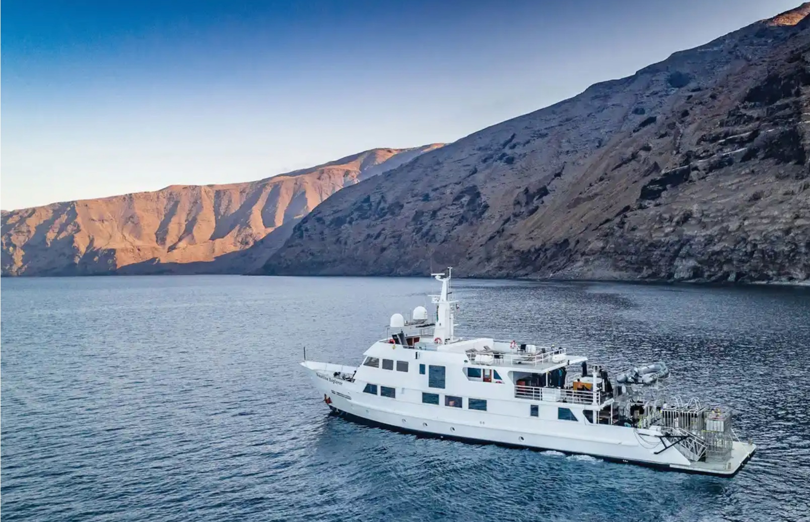
Nautilus Explorer
المكسيك
25 ضيوف44.8 m
د.إ844/يوم
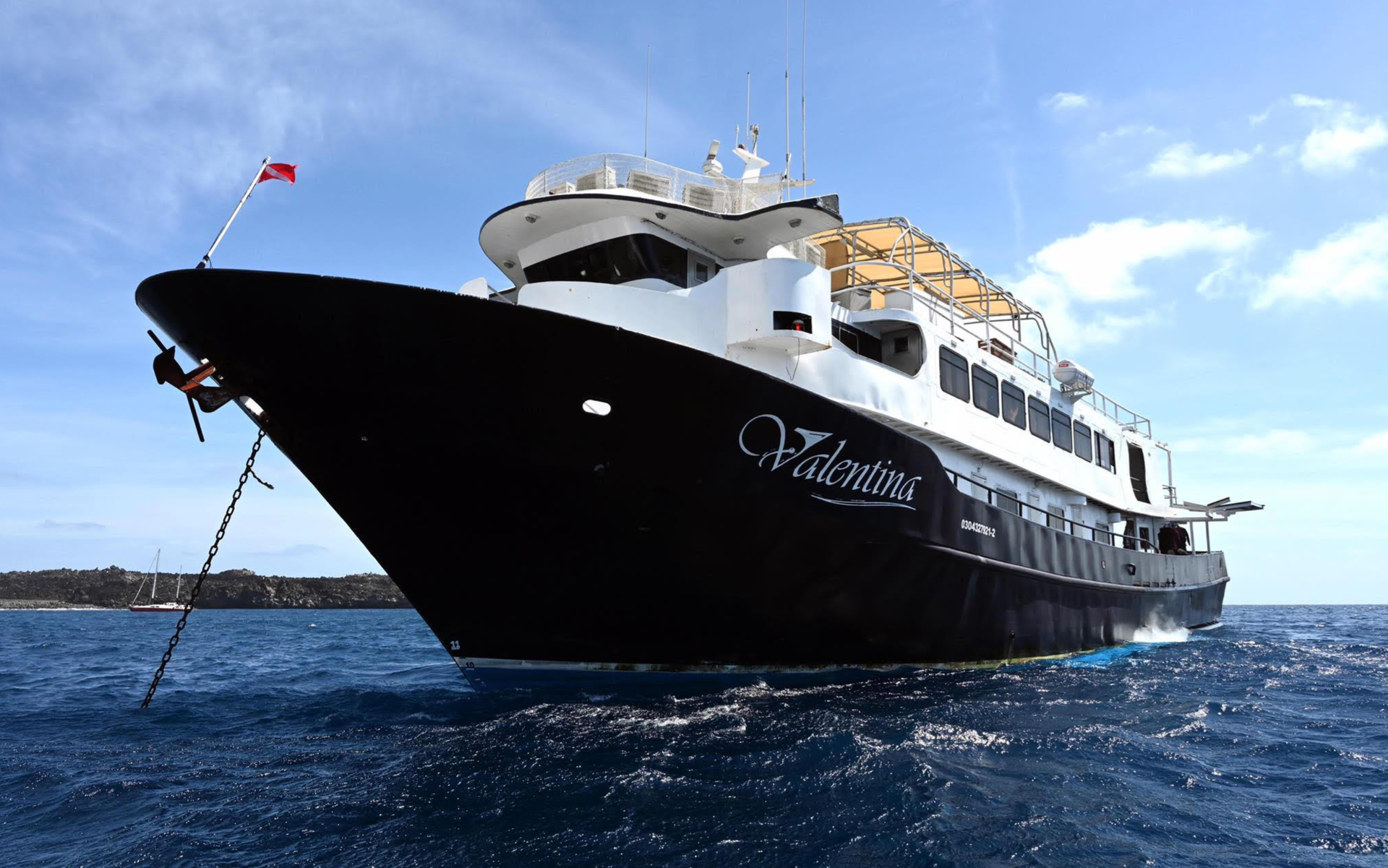
Valentina
المكسيك
20 ضيوف38.1 m
د.إ1,578/يوم

Rocio del Mar
المكسيك
20 ضيوف33.5 m
د.إ1,438/يوم
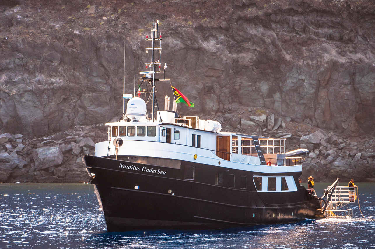
Nautilus Under Sea
المكسيك
19 ضيوف32 m
د.إ958/يوم
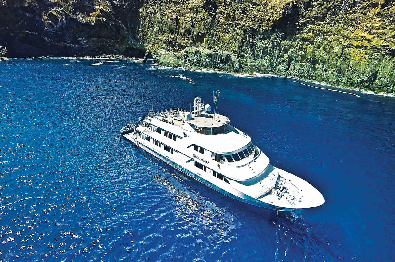
Nautilus Belle Amie
المكسيك
32 ضيوف44.8 m
د.إ1,187/يوم
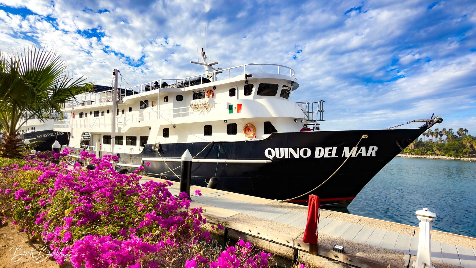
Quino del Mar
المكسيك
20 ضيوف36 m
د.إ1,382/يوم
Nautilus Gallant Lady
المكسيك
12 ضيوف35.36 m
د.إ1,217/يوم
مواقع غوص مشابهة لـ Agustín Melgar shipwreck
الطابع نفسه والمياه نفسها — ستة مواقع أخرى يحبها الغواصون للأسباب ذاتها.قارن المواسم والوصول ومسارات الليفابورد، ثم اختر الموقع الأنسب لرحلتك.
© Esri — Maxar, Earthstar, GIS
نهاية الأرض
المكسيك
تُعدّ منطقة نهاية الأرض نقطة التقاء المحيط الهادئ وبحر كورتيز، مما يخلق بيئة غوص ديناميكية.
- مناسب لـ
- متوسط
- التيار
- معتدل
- الوصول
- رحلة غوص أو قارب يومي
- العمق
- 9–24 m
- الموضوع
- حطام / قناة
© Esri — Maxar, Earthstar, GIS
يعد حطام السفينة C-58، المعروف أيضًا باسم USS Harlequin أو ARM DM-20، شعابًا اصطناعية بارزة تقع قبالة سواحل كانكون وإيسلا موخيريس.
- مناسب لـ
- متقدم
- التيار
- معتدل
- الوصول
- قارب يومي
- العمق
- 18–26 m
- الموضوع
- حطام / تيار
© Esri — Maxar, Earthstar, GIS
حطام السفينة C-58
المكسيك
حطام السفينة C-58 هو شعاب مرجانية صناعية بارزة تقع في باهيا دي موخيريس، وهي القناة بين جزيرة موخيريس وساحل كانكون.
- مناسب لـ
- متقدم
- التيار
- قوي
- الوصول
- قارب يومي
- العمق
- 18–26 m
- الموضوع
- حطام / تيار
© Esri — Maxar, Earthstar, GIS
حطام C-53 فيليبي شيكوتينكاتل
المكسيك
يقدم حطام C-53 Felipe Xicoténcatl، وهو عبارة عن شعاب مرجانية اصطناعية تقع قبالة ساحل Cozumel في المكسيك، مزيجاً فريداً من التاريخ والموائل البحرية.
- مناسب لـ
- متوسط
- التيار
- قوي
- الوصول
- رحلة غوص أو قارب يومي
- العمق
- 12–25 m
- الموضوع
- حطام
© Esri — Maxar, Earthstar, GIS
بانكو تشينشورو - 40 كانيونيس
المكسيك
بانكو تشينتشورو هو جزر مرجانية واسعة ترتفع من منطقة البحر الكاريبي المكسيكية، وهي محمية بحرية لم تمس إلى حد كبير، وتشتهر بظروفها البكر.
- مناسب لـ
- متقدم
- التيار
- قوي
- الوصول
- رحلة غوص أو قارب يومي
- العمق
- 5–20 m
- الموضوع
- جدار / حطام
© Esri — Maxar, Earthstar, GIS
حطام ماما فينا
المكسيك
ماما فينا هي حطام سفينة الغوص المحلي الأساسي في بلايا ديل كارمن، وكانت سفينة صيد روبيان تم إغراقها عمدًا في عام 1995 لتشكيل شعاب مرجانية اصطناعية.
- مناسب لـ
- متقدم
- التيار
- قوي
- الوصول
- رحلة غوص أو قارب يومي
- العمق
- 21–30 m
- الموضوع
- تيار / حطام