关于 The Anchors
The Anchors is an archaeological boat dive site situated off Lagos, Portugal, near Ponta da Piedade, where historic anchors rest among natural rock formations and marine growth. This site is particularly significant for its unique blend of underwater history and natural reef exploration, distinguishing it from purely natural or wreck-focused sites. Divers typically seek out the mix of ancient artifacts and scenic underwater landscapes rather than extreme depths or strong currents. The underwater topography features scattered rock structures, small arches, and sand patches where approximately 22 old anchors are found. Some of these anchors exceed three meters in height, creating an astonishing scenario. The maximum reported depth for this site is 17 meters, though PADI lists it as 16 meters. Visibility can fluctuate, but the protected coastal setting generally makes for a comfortable dive. Marine life at The Anchors is modest but varied, with gorgonians and small reef creatures adding visual interest around the artifacts and rocks. Common sightings include conger eels, various crabs, cuttlefish, moray eels, nudibranchs, octopuses, scorpionfish, and squid. The site is also noted for wrasses, parrotfish, groupers, stingrays, and eagle rays around the São Roque islet area, though some species listings might pertain to a different site sharing the name. This site is accessible via boat, and its typically calm conditions make it suitable for a relaxed, beginner-friendly archaeological and reef tour. Divers should maintain careful buoyancy to avoid disturbing artifacts or marine growth. Standard boat-dive awareness is important during descent and pickup due to variable coastal surface conditions and potential boat traffic.
亮点
历史悠久的船锚(高达3米)水下考古遗址小拱门和岩石地貌多样的小型珊瑚礁生物柳珊瑚康吉鳗和章鱼轻松的海岸潜水
最佳季节
潜水“The Anchors”的最佳时间是在海况更平静、更温暖的时期,这通常会提升这次受庇护的船潜的舒适度。该潜点的乐趣在很大程度上取决于当地是否允许船只出海的海况。
潜点资料: The Anchors
- 深度
- 0–17 m
- 水流
- 微弱
- 入水方式
- 船宿或日间船
- 等级
- 初级
- 潜水类型
- , 珊瑚礁
- 地区 / 港口
- 葡萄牙
- 坐标
- 38.6833° N, 9.4500° W
条件与水流
“The Anchors”通常只有轻微或没有水流,因此是一次舒适且易于进行的潜水。它的特点是轻松的海岸潜水模式,潜水员可以悠闲地游览考古特色和珊瑚礁。作为一个船潜潜点,潜水员通常被直接送到潜点入水,并在水面被接回,这要求在下潜和上升时都具备标准的船潜意识。潜水员应注意水面可能存在的船只交通。能见度可能会变化,范围在5到15米之间,没有提到温跃层或明显的涌浪。这种相对平静的环境使其成为经验较少潜水员的绝佳选择。
为什么乘船宿潜The Anchors?
The Anchors是葡萄牙的标志性潜点之一。船宿让你在海上过夜,每天提供三到四次导潜,包括日间船宿很少提供的黎明潜与夜潜。你无需每日返港,一次行程即可抵达同区域更安静的潜点。
以下是葡萄牙行程中包含The Anchors的船宿。
潜The Anchors的船宿
这些船宿在部分行程中可能前往The Anchors,具体潜点取决于出发日期、天气与海况。
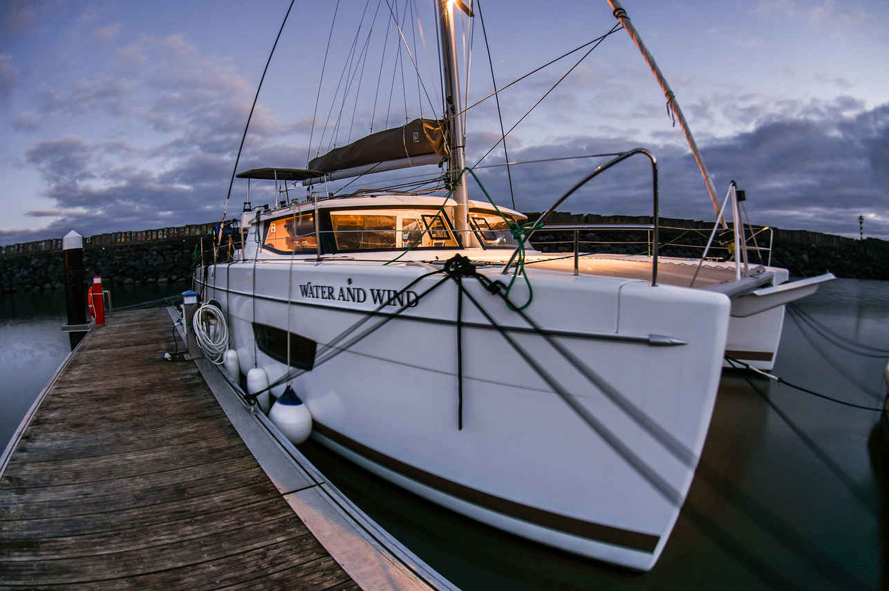
Water And Wind
葡萄牙
8 位客人13.41 m
与 The Anchors 相似的潜点
同样的特色、同样的海域——另外六个同样迷人的潜点。比较季节、交通方式和船宿路线,然后选择最适合你行程的潜点。
Pedra da Velha 是一个高级的、只能乘船抵达的岩礁和海蚀柱潜点,位于佩尼切附近,在受保护的贝伦加斯群岛内。这个联合国教科文组织生物圈保护区呈现出与大陆潜水截然不同的美学,其特征是圆润的花岗岩剖面而非棱角分明的石灰岩,由永不停歇的大西洋海浪雕琢而成。…
- 适合
- 高级
- 水流
- 中等
- 交通方式
- 日间船宿
- 深度
- 10–20 m
- 主题
- 珊瑚礁 / 峭壁
佩德拉-达瑙(Pedra da Nau)是一个著名的潜水地点,位于卡斯卡伊斯(Cascais)附近一个受保护的海湾中,从岸边短途乘船即可轻松抵达,甚至可以陆路前往。
- 适合
- 初级
- 水流
- 微弱
- 交通方式
- 船宿或日间船
- 深度
- 4–18 m
- 主题
- 珊瑚礁
西尔韦拉 (Silveira) 是一个位于葡萄牙亚速尔群岛特塞拉岛附近,对初学者友好的潜水点。亚速尔群岛坐落在中大西洋海脊上,其独特的潜水体验以古老的火山玄武岩地貌为特色。西尔韦拉 (Silveira) 以其令人印象深刻的墙壁、岩架和可达深度的悬崖,完美展现了这一特点。…
- 适合
- 初级
- 水流
- 微弱
- 交通方式
- 日间船宿
- 深度
- 2–15 m
- 主题
- 珊瑚礁 / 尖峰
Cinco Ribeiras 位于亚速尔群岛特塞拉岛的西海岸,以附近的一个村庄命名。这个潜点是您亚速尔潜水之旅的理想开端,提供平静的水况和适中的深度,适合新认证的潜水员,同时展示了群岛标志性的火山水下景观。它融合了亚热带大西洋和较冷温带的海洋生物,创造了一个独特的生态系统。…
- 适合
- 初级
- 水流
- 微弱
- 交通方式
- 岸潜/日间船
- 深度
- 5–16 m
- 主题
- 珊瑚礁 / Cavern
安布罗休浅滩(Baixa do Ambrósio)是一个高级潜水点,位于亚速尔群岛东部圣玛丽亚岛东南方向的开阔大西洋中。
- 适合
- 高级
- 水流
- 强
- 交通方式
- 日间船宿
- 深度
- 5–47 m
- 主题
- 珊瑚礁 / 放流