关于 Neptune's Finger
Neptune's Finger is a renowned dive site located in Cabo San Lucas, Mexico, at the southern tip of the Baja California Peninsula. Its name comes from a distinctive rocky pinnacle that extends approximately 8 meters (26 ft) above the water's surface. This iconic formation marks a unique underwater landscape that has served as a navigational landmark for decades. The site is a premier destination for scuba diving due to its blend of geological wonders and diverse marine ecosystems, embodying the rich marine life of the Sea of Cortez. Beneath the waves, the site features a complex topography, including two distinct coral reefs and multiple shallow pinnacles adorned with various coral types. A prominent vertical wall drops dramatically to depths exceeding 152 meters (500 ft), making it suitable for technical diving and offering a dramatic backdrop for exploration. Divers will also encounter the largest sandfall within the Cabo San Lucas Marine Park, a mesmerizing natural phenomenon where sand cascades down the seabed. The pinnacles extend all the way to the surface, providing excellent opportunities for extended safety stops. Marine life at Neptune's Finger is abundant and varied. The shallow areas are particularly notable for macro subjects, including numerous nudibranchs. Along the wall, large schools of snapper are common, and a butterflyfish cleaning station provides interesting viewing. Visiting turtles are frequently sighted, and during the mobula and cow nose ray seasons, large schools of these rays are known to pass overhead. Other pelagic species such as tuna, bonitos, barracudas, and sardines are regularly encountered, alongside eagle rays, mantas, and guitarfish. Sharks, whales, and dolphins are also common sightings in the general area. The site is accessible to Open Water or CMAS* certified divers. While diving is possible year-round, calmer seas and clearer visibility are more prevalent during specific months. Divers can expect to explore unique geological formations and a rich diversity of marine life across various depth bands, from shallow reef tops to deep wall sections, typically making it a multi-faceted dive experience.
亮点
Iconic rocky pinnacleLargest sandfall in Cabo San Lucas Marine ParkButterflyfish cleaning stationSchools of snapperAbundant nudibranchsDramatic vertical wallMobula and cow nose ray sightingsShallow coral pinnacles
最佳季节
海神之指全年都可以进行潜水。然而,最佳的潜水条件,即更平静的海面和更清晰的能见度,通常出现在一月至四月、七月以及十一月至十二月。在这几个月里,水温稳定保持在 24-25°C (75-77°F) 左右,为你提供舒适的潜水体验。
潜点资料: Neptune's Finger
- 深度
- 4–152 m
- 水流
- 微弱
- 入水方式
- 船宿或日间船
- 等级
- 初级
- 潜水类型
- 珊瑚礁, 珊瑚礁
- 地区 / 港口
- 墨西哥
- 坐标
- 22.8694° N, 109.9827° W
条件与水流
Neptune's Finger的水流通常被描述为水流通常平缓,适合大多数持证潜水员进行轻松潜水。。 大多数潜水都是轻松的放流潜水或在系泊点附近的礁石潜水,这使得经验尚浅的潜水员也能轻松抵达潜点。每次潜水仍需携带水面浮标(SMB)。 水流和季节会影响潜水条件,因此请务必遵循您的潜导提供的最新简报。 导潜通常将这里的水流评定为轻微水流。 这里的潜水剖面通常在4到152米之间,因此请根据潜点较深的部分规划你的气量和免减压极限。 通常会将其简报为适合初学者级别潜水员的潜水。 这里可以从船宿船或日潜船潜水,具体取决于你行程的起点。 潮汐、风和季节都会使情况每天发生变化,因此船员在船上的简报始终优先于任何一般性描述。
为什么乘船宿潜Neptune's Finger?
Neptune's Finger是墨西哥的标志性潜点之一。船宿让你在海上过夜,每天提供三到四次导潜,包括日间船宿很少提供的黎明潜与夜潜。你无需每日返港,一次行程即可抵达同区域更安静的潜点。
以下是墨西哥行程中包含Neptune's Finger的船宿。
潜Neptune's Finger的船宿
这些船宿在部分行程中可能前往Neptune's Finger,具体潜点取决于出发日期、天气与海况。
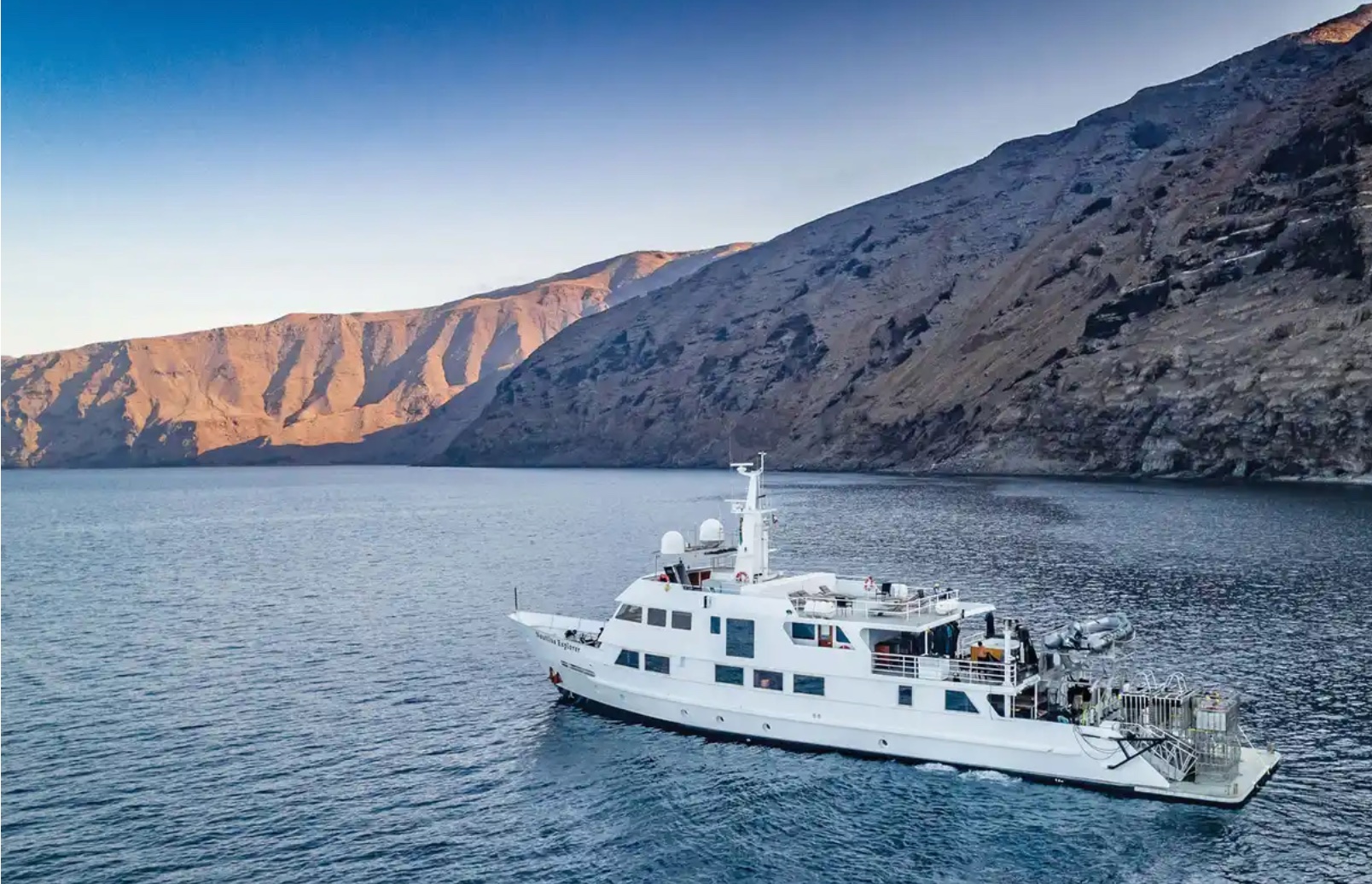
Nautilus Explorer
墨西哥
25 位客人44.8 m
$330/天
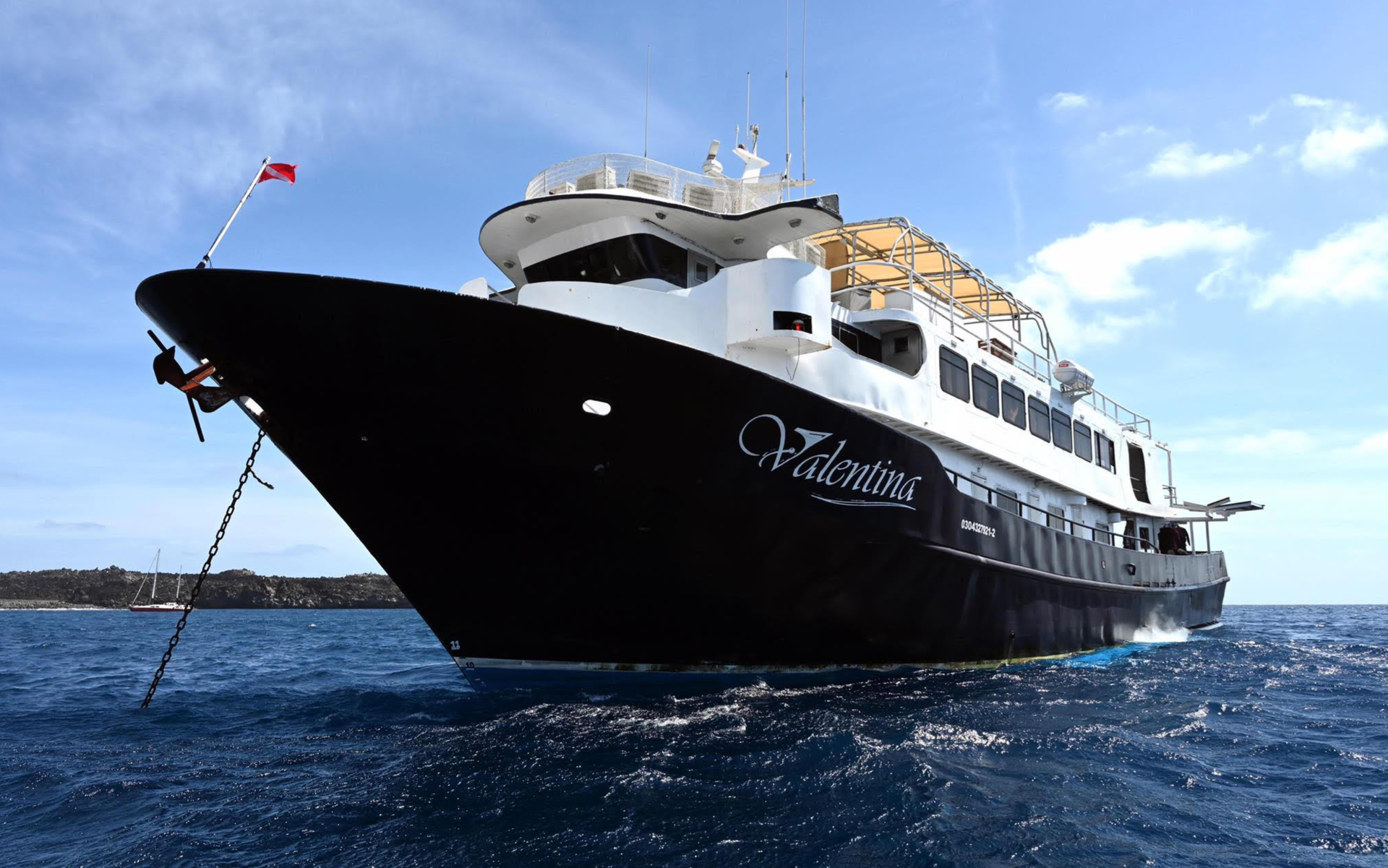
Valentina
墨西哥
20 位客人38.1 m
$430/天

Rocio del Mar
墨西哥
20 位客人33.5 m
$392/天
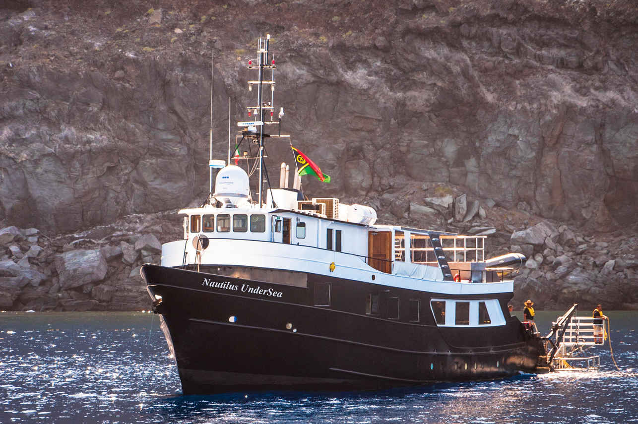
Nautilus Under Sea
墨西哥
19 位客人32 m
$323/天
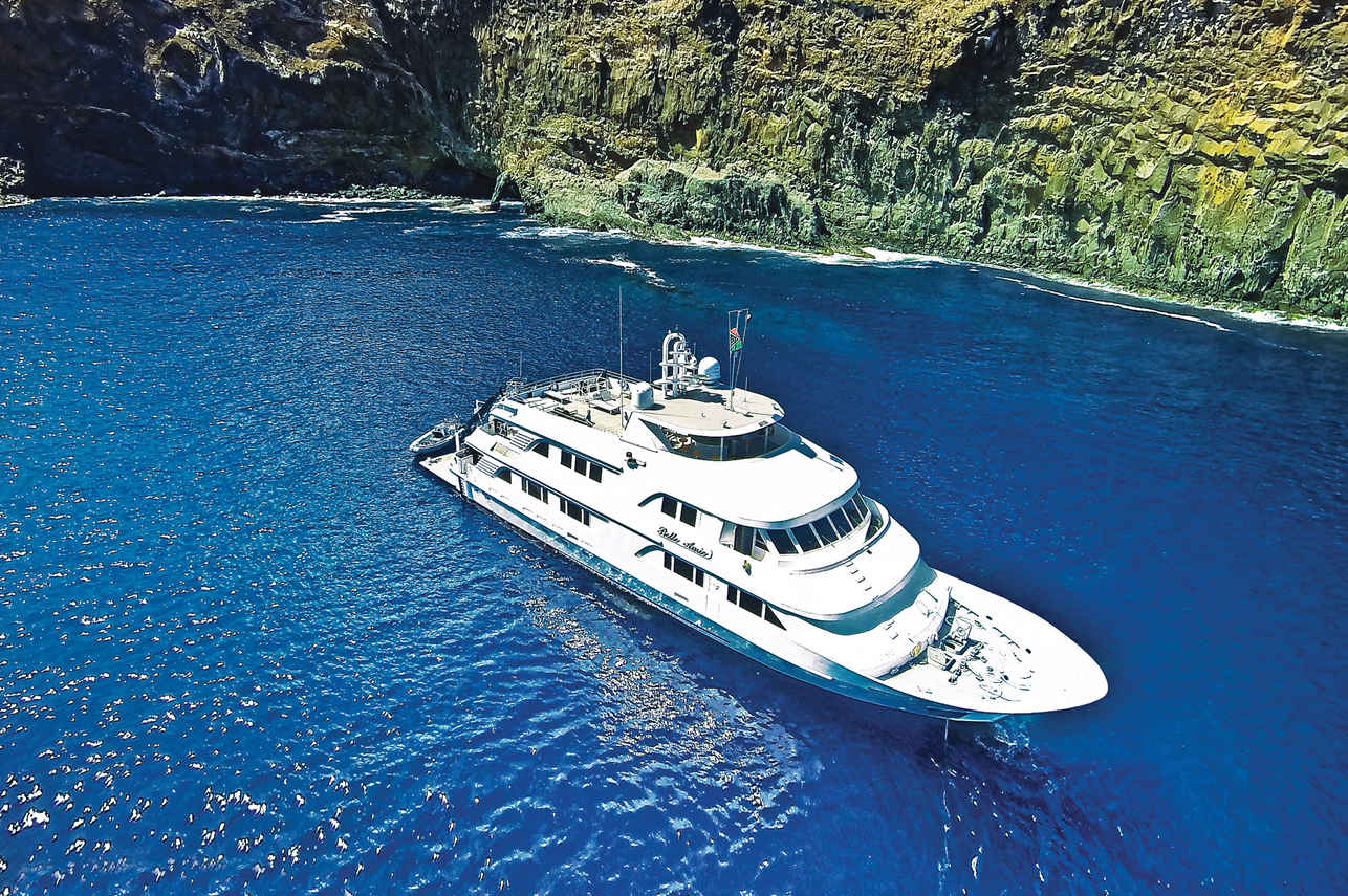
Nautilus Belle Amie
墨西哥
32 位客人44.8 m
$323/天
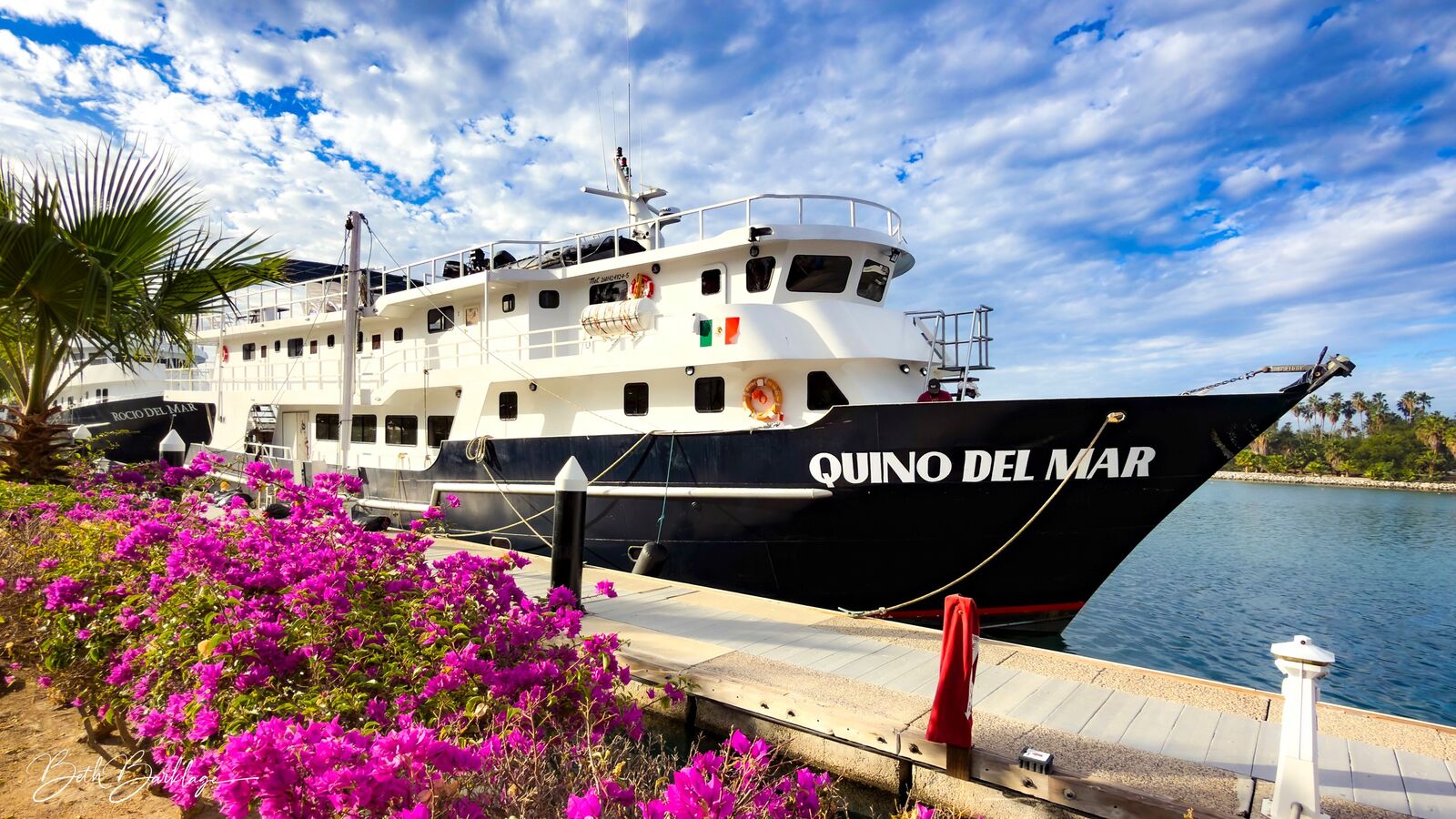
Quino del Mar
墨西哥
20 位客人36 m
$392/天
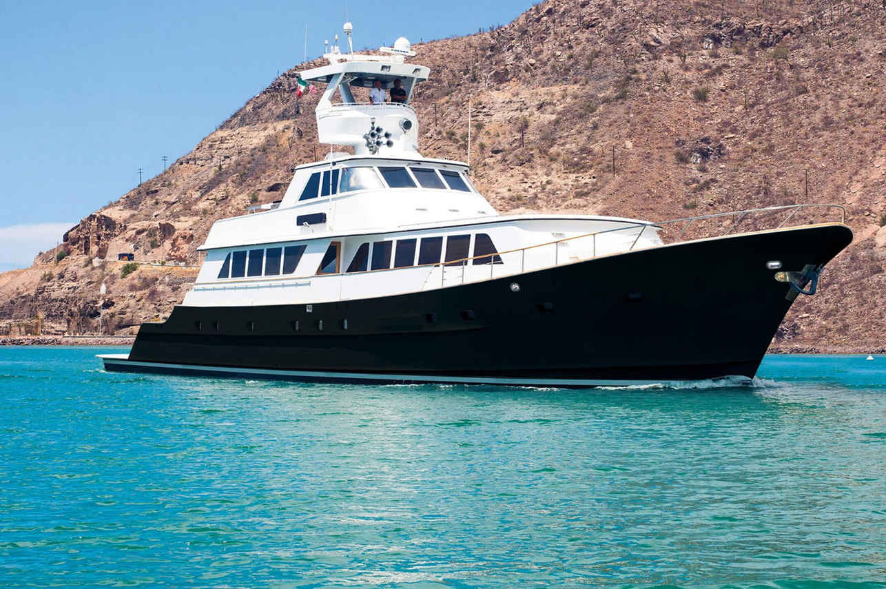
Nautilus Gallant Lady
墨西哥
12 位客人35.36 m
$332/天
与 Neptune's Finger 相似的潜点
同样的特色、同样的海域——另外六个同样迷人的潜点。比较季节、交通方式和船宿路线,然后选择最适合你行程的潜点。
伊丽莎白湾位于伊莎贝拉岛东海岸,拥有广阔而避风的海洋环境,生物多样性极其丰富。这片独特的区域沿岸拥有大片红树林系统,与周围的火山熔岩地貌形成鲜明对比,为众多物种创造了绝佳的栖息地。
- 适合
- 初级
- 水流
- 无水流
- 交通方式
- 仅船宿
- 深度
- 3–20 m
- 主题
- —
© Esri — Maxar, Earthstar, GIS
弗洛雷亚纳 - 魔鬼皇冠
加拉帕戈斯
位于加拉帕戈斯群岛Floreana Island近海的Devil's Crown,被公认为该群岛最顶级的潜水和浮潜目的地之一。
- 适合
- 初级
- 水流
- 强
- 交通方式
- 仅船宿
- 深度
- 3–15 m
- 主题
- 珊瑚礁
Bajo Negro,又名 Black Rock,是位于哥斯达黎加太平洋沿岸 Santa Rosa National Park 内 Bat Islands 地区一个令人着迷的潜点。
- 适合
- 高级
- 水流
- 强
- 交通方式
- 岸潜/日间船
- 深度
- 20–30 m
- 主题
- 尖峰 / 海山
Dos Sombreros 是哥斯达黎加北太平洋地区卡塔利娜群岛链中的一处著名潜水点,位于弗拉明戈海滩附近。它以其火山岩柱而闻名,这些岩柱形成了动态的海底地形,为海洋生物提供了多样化的栖息地。该潜点是寻求与大型远洋物种和活跃珊瑚礁居民邂逅的潜水员的首选。 水下,Dos Sombreros…
- 适合
- 中级
- 水流
- 中等
- 交通方式
- 日间船宿
- 深度
- 12–25 m
- 主题
- 尖峰
鹈鹕岩 (Pelican Rock) 是一个著名的潜水点,位于墨西哥南下加利福尼亚州的卡波圣卢卡斯海洋公园内,从码头乘船只需几分钟即可到达。
- 适合
- 初级
- 水流
- 微弱
- 交通方式
- 船宿或日间船
- 深度
- 5–40 m
- 主题
- 峭壁