について Kovanli Island
Kovanli Island, also referred to as Kovanli Adasi, is a prominent dive site located off the coast of Kaş in Turkey. This site is particularly significant for its rich display of underwater archaeological artifacts, making it a unique destination in the region. The island itself is known for its beehives, which contribute to the local Sercüven honey produced from island flowers, lending a distinctive character to the area. Diving at Kovanli Island involves exploring a seabed covered with numerous ancient artifacts. Divers will encounter a plentiful collection of amphorae, both intact and fragmented, alongside various stone and metal anchors. These historical relics are scattered across the dive site, primarily found between 7 and 40 meters, offering a glimpse into ancient maritime history. The topography includes a sandy and rocky bottom. Marine life at Kovanli Island includes species such as hornet fish, which are often seen hunting in the Posidonia seagrass meadows, and abundant red mullets. While there's no specific seasonality mentioned for these species, the overall Mediterranean diving season sees an increase in activity. Large sea turtles are known to migrate through these waters during the warmer summer months. Access to Kovanli Island is exclusively by boat from Kaş port, a journey that typically takes about 15 minutes. The site is suitable for all certification levels, though strong currents can occur, suggesting an intermediate to advanced skill set might be more comfortable, particularly for exploring deeper areas or managing potential drift dives. Visibility generally ranges from 20 to 30 meters, with an average of 25 meters, providing clear views of the underwater landscape and artifacts.
ハイライト
豊富な古代アンフォラ歴史的な石と金属の錨海草で狩りをするミノカサゴたくさんのアカヒメジウミガメに会えるかも
シーズンカレンダー
ダイビングに最適な月
1月
2月
3月
4月
5月
6月
7月
8月
9月
10月
11月
12月
最適
良好
オフシーズン
ダイブサイト データ: Kovanli Island
- 水深
- 7–40 m
- 流れ
- 強い
- エントリー
- ライブアボードまたはデイボート
- レベル
- 中級
- ダイブタイプ
- リーフ, ドリフト, マックダイビング, ウォール
- 地域 / 港
- トルコ
- 座標
- 36.5334° N, 29.0758° E
コンディションと流れ
コバンリ島では潮流が穏やかな時もあれば強い時もあり、ドリフトダイビングが一般的です。ダイバーは通常、島の外側を潮流に逆らって泳ぎ始め、その後潮流に乗って東へ流れるため、制御されたエントリーとエキジットが重要です。このスポットの視界は概ね良好で、平均約25m、最大30mに達することもあります。特定の水温躍層は言及されていませんが、地中海の海水は層状になることがあります。強い潮流の可能性があるため、ダイバーはドリフトダイビングのテクニックに慣れており、安全のためにサーフェスマーカーブイ(SMB)やリーフフックの携帯を検討すべきです。このスポットは一般的にすべてのレベルに適していますが、強い潮流に遭遇する可能性を考えると、快適さと安全のために中級認定がより適切かもしれません。
Kovanli Islandをライブアボードで潜る理由は?
Kovanli Islandはトルコを代表するダイブサイトの一つです。ライブアボードは海上で宿泊しながら、デイボートでは難しい朝・夜のダイブを含む1日に複数本のガイド付きダイビング(本数は船とルートにより異なります)を提供します。毎日の港への往復を省き、同じ地域のより静かなサイトに一回の旅で到達できます。
Kovanli Islandのライブアボード
これらのダイビングクルーズは、一部の日程でKovanli Islandを訪れる可能性があります。実際のダイブサイトは出発日・天候・海況によって変わります。
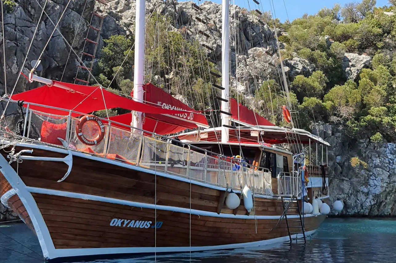
Okyanus JD
トルコ
12 名24 m
Kovanli Island に似たダイブサイト
同じ雰囲気、同じ海,同じ理由で愛される6つのサイト。シーズン、アクセス、ライブアボード航路を比較して、自分の旅に最適なサイトを選ぼう。
© EsriMaxar, Earthstar, GIS
フェティエのバラクーダ・ポイントは、トルコの地中海沿岸にある評価の高いダイビングサイトで、その透明な水と多様な海洋生態系で知られています。
- 適している
- 中級
- 流れ
- 弱い
- アクセス
- ライブアボードまたはデイボート
- 水深
- 20–30 m
- テーマ
- ケーブ&キャニオン / ドリフト
© EsriMaxar, Earthstar, GIS
ボドルム近郊に位置するアクアリウム湾は、その並外れた透明な水と多様な水中景観で知られる、トルコで人気のダイビングスポットです。
- 適している
- 初心者
- 流れ
- 強い
- アクセス
- ライブアボードまたはデイボート
- 水深
- 3–15 m
- テーマ
- ケーブ&キャニオン / ドリフト
© EsriMaxar, Earthstar, GIS
サンタ・バルバラのバイシャ
ポルトガル
サンタ・バルバラのバイシャは、アゾレス諸島最南端で最も古い島、サンタ・マリア島沖にある最高の高度なダイビングスポットだよ。
- 適している
- 上級
- 流れ
- 強い
- アクセス
- デイボート
- 水深
- 18–30 m
- テーマ
- リーフ / ウォール
トルコの南西海岸、フェティエの近く、そしてカシュの南西沖に位置するベスミ島(Besmi Adasıとしても知られる)は、挑戦的でありながらも満足感の高いダイビングスポットだよ。
- 適している
- 上級
- 流れ
- 強い
- アクセス
- デイボート
- 水深
- 4–60 m
- テーマ
- リーフ / ウォール
アブディ・レイスは、トルコのダチャ半島エーゲ海、特にイルディズ島近くのアブディ・レイス湾内に位置する、高く評価されているダイブサイトだよ。
- 適している
- 中級
- 流れ
- 中程度
- アクセス
- ライブアボードまたはデイボート
- 水深
- ≤ 33 m
- テーマ
- リーフ / ウォール